Lost Pet Recovery
FINDING WHAT MATTERS
Helping find missing pets in neighborhoods, open land, and wooded areas with aerial and thermal imaging.
Explore service
Choose a service to see how Raijin Skyworks can help.
FINDING WHAT MATTERS
Helping find missing pets in neighborhoods, open land, and wooded areas with aerial and thermal imaging.
COVER MORE GROUND
Thermal aerial searches to help locate downed deer and game.
A HIGHER PERSPECTIVE
Aerial awareness and thermal support for coordinated search operations.
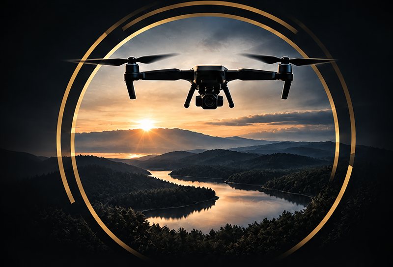
NEW PERSPECTIVES
Professional aerial imagery and video for property and promotion.
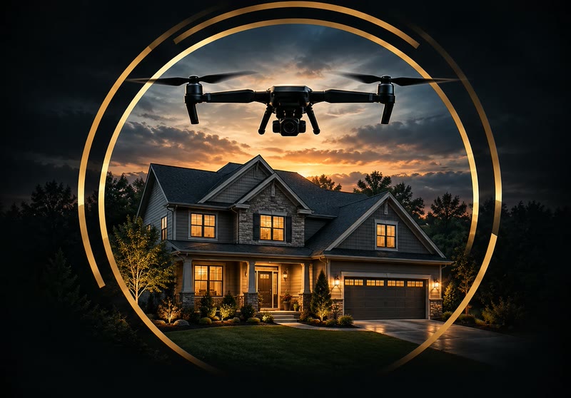
LISTINGS, INSIDE & OUT
Interior and aerial photos, video, and 360° virtual tours for listings.

YOUR DAY, FROM ABOVE
Aerial photos and video of your venue, ceremony, and guests, alongside your photographer.
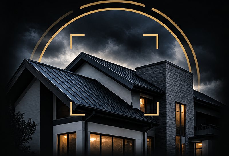
SEE WHAT OTHERS CAN’T
Detailed visual and thermal imaging for roofs and properties.
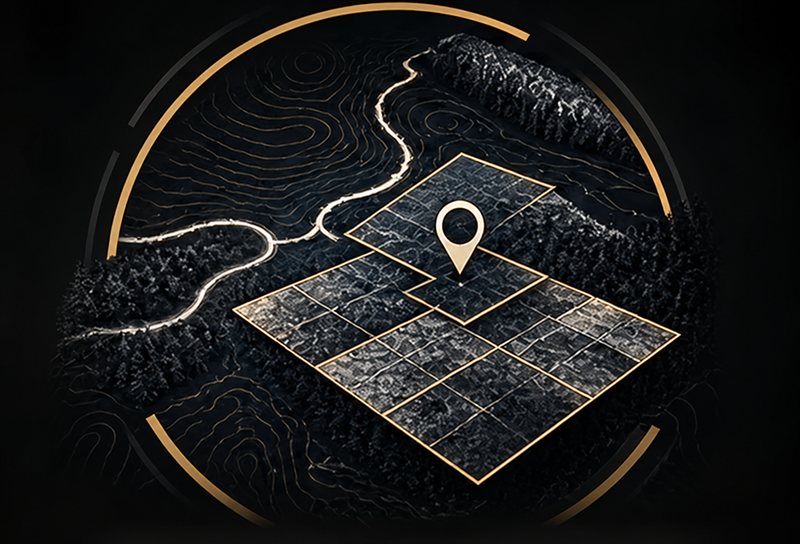
DATA THAT DRIVES SOLUTIONS
Aerial surveys, site overviews, and imaging documentation.

KEEP YOUR TEAM UP TO DATE
Aerial progress photos and video for weekly site updates, milestone visits, and project records.
Real searches for lost pets and downed deer across Northeast Ohio.
Operated by professionals with extensive experience in firefighting, paramedicine, and emergency response.
Deep understanding of the environment to identify objectives and communicate critical information clearly.
Clear, mission-focused communication protocols that ensure safety and efficiency in every flight.
Professional drone services for search, recovery, and inspections. Raijin Skyworks does not replace official emergency response agencies or law enforcement. All operations are conducted with a mission-focused public safety mindset.