
Get another view of where your deer may be.
You've put time into the hunt. When the sign gets thin or the deer crosses difficult ground, finding it can become a very different job.
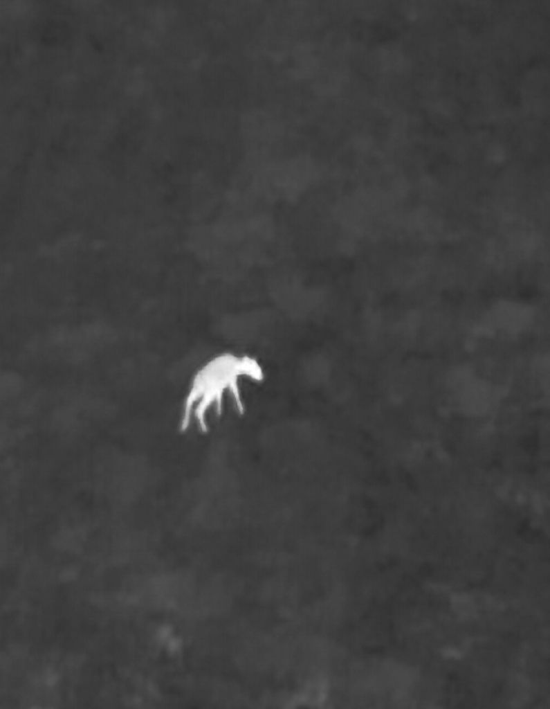
An aerial thermal search can help check suitable ground around the last known location and look for a possible heat signature. We use your account of the shot, direction of travel, and tracking details to focus the search rather than simply flying at random.
A possible sighting gives us an area to check more closely. When we can identify the animal, we share its location so you can plan the recovery with the appropriate access.
Recent Recoveries
✔ 5 deer recovered for Northeast Ohio hunters this season
How It Works
We combine your tracking information with an aerial view to focus the search and check possible sightings.
-
1

Tell Us Where
Time of shot and last known location. Private & public land coverage.
-
2

Rapid Response
Fast response when available
-
3

Thermal Discovery
Advanced heat signature technology
-
4

4K Aerial Verification
High-res visual imaging confirmation
Deer Recovery
Tell us where the trail ended and what you have seen so far. We'll discuss a search area, assess whether aerial imaging can help, and keep you informed about possible sightings.
- Time of shot
- Last known location
- Land type (Private/Public)
- Any tracking details or sign observed
Start with what you know.
What details help you plan the flight?
The shot location and time, where the deer was last seen, direction of travel, and any tracking sign. A location pin and a quick description of the terrain are useful starting points.
Will thermal imaging find every deer?
No. Cover, terrain, temperature, and the time since the animal went down can affect what is visible. We'll discuss the situation and whether a flight is likely to be useful.
What about property access?
Tell us which property is involved and what access you have. We'll discuss permissions and site restrictions before a search. A sighting does not grant access to recover an animal on someone else's land.
Can I call at night or on a weekend?
Yes. We take calls 24/7, day or night, weekends and holidays included. Searches can run at night too; weather and flying conditions decide when it's safe to go up.
How do I arrange a search?
Call or text with the location and tracking details. We'll confirm availability, discuss the search area, and explain the cost before you book.
Request Recovery
Professional drone services for search, recovery, and inspections. Raijin Skyworks does not replace official emergency response agencies or law enforcement. All operations are conducted with a mission-focused public safety mindset.